Телефон
+7 (7172) 57-44-84
+7 (7172) 57-44-84
E-mail
gosexpertiza@gosexpertiza.kz
gosexpertiza@gosexpertiza.kz
October 20, 2016 the company Polyterm for experts of the central apparatus and branches RSE "Gosexpertiza" held a webinar on "Geoinformation system ZuluGIS 8.0. c examples of the use of computational complexes in expert work ".
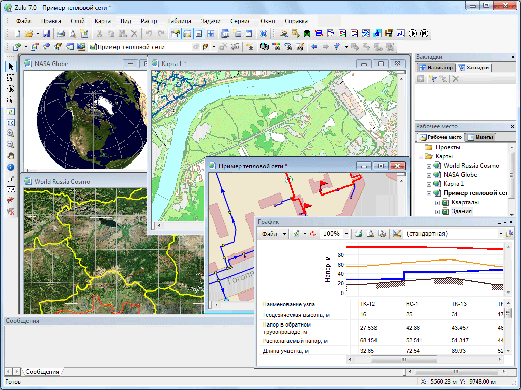
The Zulu geoinformation system is designed to develop GIS applications that require visualization of spatial data in vector and raster form, analysis of their topology and their connection with semantic databases.
With the help of Zulu, you can create all kinds of maps in geographic projections or outline plans, including maps and diagrams of engineering networks supporting their topology, work with a large number of rasters, conduct joint semantic and spatial analysis of graphic and tabular data, create various thematic maps, export and data import.